SPRING HIKES IN HURON
Spring can present the most challenging season on the trails in Huron County, with conditions ranging from late winter snow and ice to large puddles and mud, but the payoff can be spectacular. We’ve picked three trails that best show off our spring season, so be sure to pack your camera and waterproof footwear.
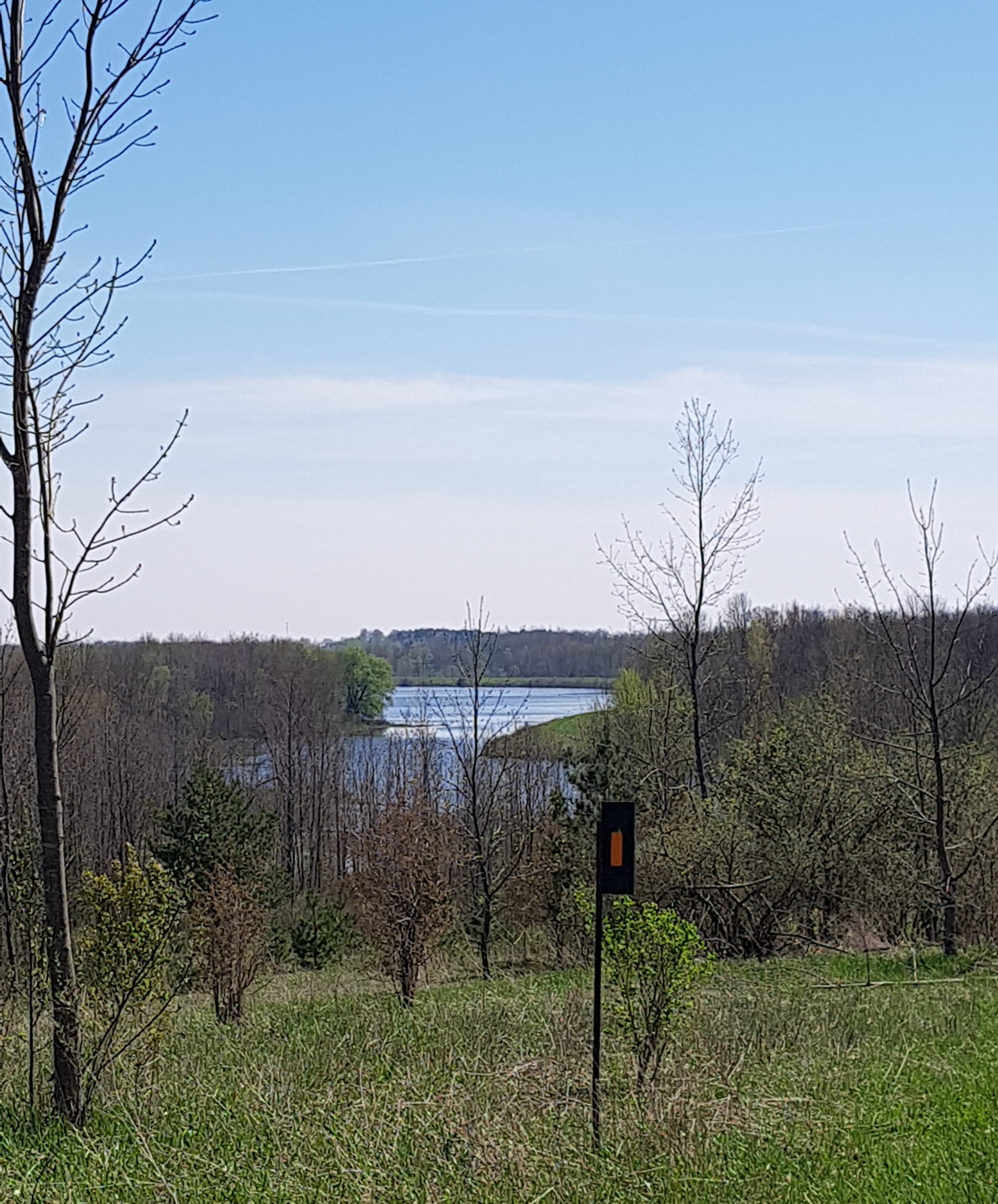
Hullett Provincial Wildlife Area: Hands down, this is our favourite trail from March through to June. For best hiking through damp conditions, the dyke system remains fairly dry and from its elevated vantage point it provides the best views of the waterfowl on the ponds in the marsh.
In March and April, you will be able to see the migratory birds, such as the tundra swans using the Bluebill and Butterball pools as landing strips. By May and June, the dykes are an excellent way to watch the nesting habits of the Canada Geese that have taken over the ponds. And keep your eye on the water close to the shore, as muskrats can often be seen paddling by. Lucky hikers may come across snapping turtles basking in the sun. White-tailed deer, sandhill cranes, herons and wild turkeys are also common sights so be sure to keep a camera with a zoom lens handy.
The location’s website features a detailed map and printable checklists to track your sightings of flora and fauna at www.hullettmarsh.com. The parking lot at 40874 Summerhill Road features a viewing stand, easy access to the dyke system and a short loop trail (orange blazes) that features both sweeping vistas of the pools and an easy tromp through a meadow and back through a cedar grove to the parking lot.
Robertson Tract (feature photo, above): Just west of Auburn, down Pinery Line, is the entry point for the Robertson Tract, one of Huron County’s managed forests. There is a sign board with a map of the area and pictures and text outlining the history of the tract. The main trail is part of the Maitland Trail (an extensive trail running 52 kilometres between Auburn and Goderich, along with a network of side trails) and several fire cuts through the forest that are well-marked.
From the parking lot, head east along the river. In the spring, you will likely encounter plenty of fishermen, canoes and kayaks taking advantage of the high water. The riverbanks are steep in places affording great views of the river below. Follow the white blazes until you reach the point where the Maitland Trail makes a sharp right. Instead, take a left and wander the fire road back to Pinery Line. Follow the road until you reach the next fire road entry on the left. This entry point will bring you back to the Maitland Trail and a right turn will eventually lead you back to the parking area.
While meandering through the reforestation, watch for trilliums and anemones blooming. There is often a lot of evidence of red squirrels with great piles of midden (pine cone scales and scores) heaped under the trees in this section.
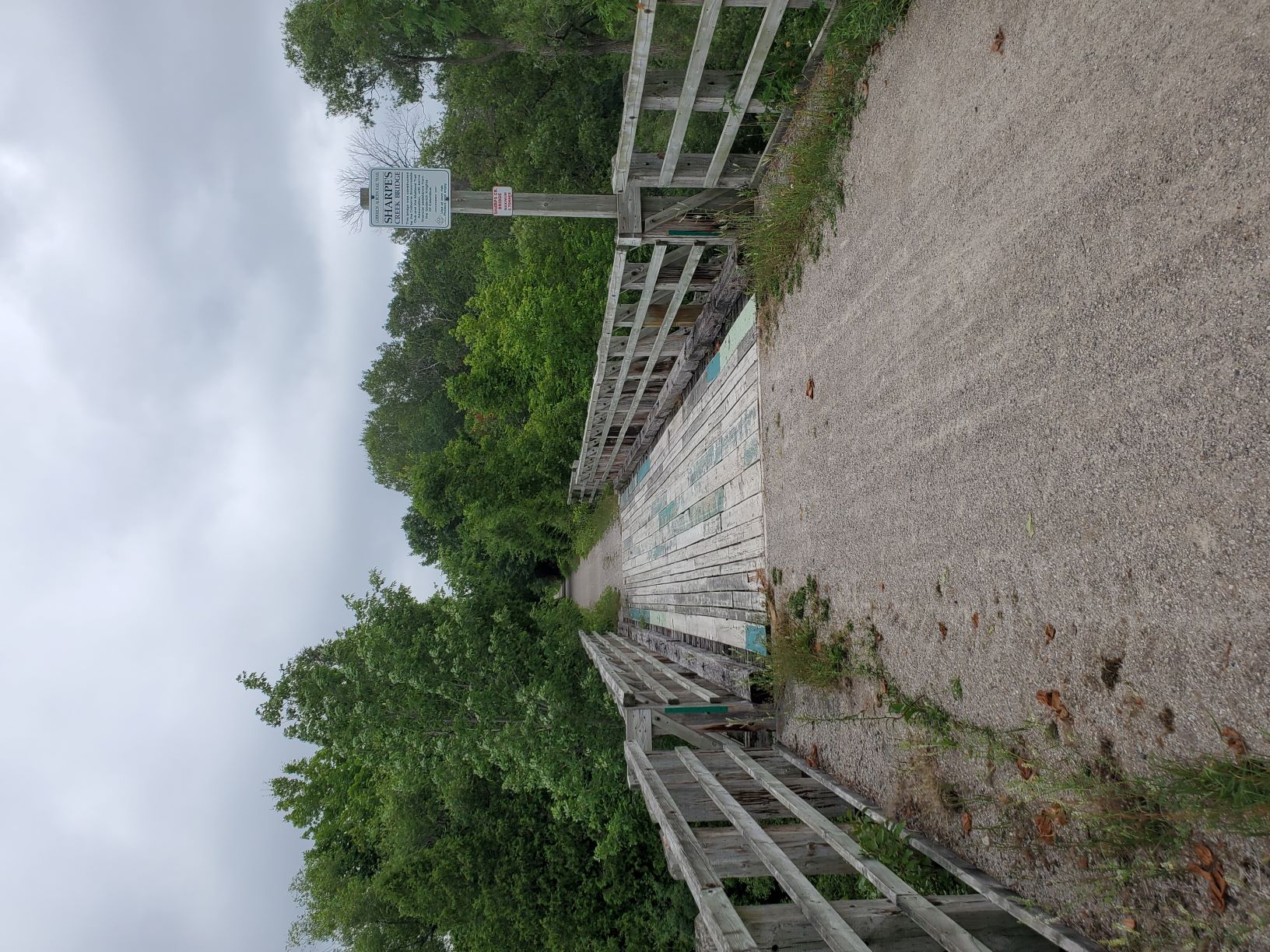
G2G Trail - Sharpes Creek Line: One of our favourite sections of the Goderich-to-Guelph Rail Trail starts at Sharpes Creek Line near Benmiller. There is ample parking on the side of the road, so be sure to leave room for the farm lane and gravel pit entrances, which are well-marked. On the trail, head west through a tree-lined section. This will soon open with gravel pits on either side of the trail. Then the hedgerows start to thicken with plenty of sumacs and dogwood adding a splash of colour. Soon you will encounter a substantial bridge built and maintained by the local snowmobile club that spans the picturesque Sharpes Creek. The creek was named after a runaway slave who settled in the area. Follow the trail along and you will encounter a pond on your left that is often overgrown with green algae that allows you to imagine the wildlife from their tracks through it. Nesting ducks take advantage of the thicket in the centre of the pond, and may startle you if they take off at your approach.

The next road (Lucknow Line) indicates the end of the first block and is a good turnaround point to return to your car or a midway point if you want to continue. The next block is a short one, with the McGaw Line intersection. If you want to continue one more block you will continue west to CP Line. A return trip from Sharpes Creek Line to CP Line and back is approximately 11 kilometres and a leisurely pace would be about two and a half hours.


